
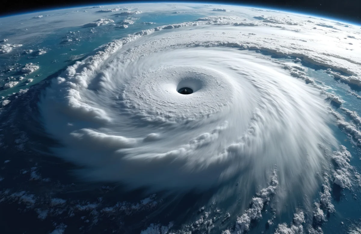
The Great Miami Hurricane of 1926 is often treated as a historical anomaly, a ghost from a different era of risk. In reality, it resembles a modern catastrophe scenario that continues to haunt insurance underwriters, urban planners, and climate scientists alike. When the Category 4 storm made landfall on September 18, 1926, the Miami metropolitan area was in the midst of an unprecedented coastal development frenzy known as the Florida land boom. Population was expanding at an exponential rate, construction was accelerating without the oversight of modern building codes, and high-value property was beginning to concentrate along the fragile shoreline. This convergence of rapid economic growth and extreme meteorological vulnerability created the conditions for one of the most destructive natural disasters in United States history, a template that remains dangerously relevant today.
A Chronology of the 1926 Landfall
The storm was first detected in the eastern Atlantic on September 6, 1926, but the lack of satellite imagery and advanced meteorological radar meant that the residents of South Florida remained largely unaware of the impending threat until the eleventh hour. By the time the National Weather Bureau issued warnings, the hurricane was already barreling toward the Florida Straits.
On the morning of September 18, the storm made direct landfall in Miami with sustained winds estimated at 145 miles per hour. The pressure at the eye was recorded at 935 millibars, an intensity that would be classified as a major hurricane under the Saffir-Simpson scale. The eye of the storm passed directly over the city, leading to a deceptive "calm" that lured many residents out of their shelters, only for them to be caught unprepared when the back half of the eyewall struck with renewed, catastrophic force.
The surge was perhaps the most devastating element. The storm pushed a 10-to-15-foot wall of water into Biscayne Bay, inundating the downtown core and the newly developed residential areas of Coral Gables and Hialeah. By the time the system tracked across the Florida peninsula and into the Gulf of Mexico, the landscape of Southeast Florida had been permanently altered.
The Socioeconomic Context: The Florida Land Boom
To understand the magnitude of the 1926 disaster, one must examine the economic climate of the mid-1920s. Miami was the epicenter of a speculative real estate bubble. Investors from across the country poured capital into the region, buying swampland and undeveloped coastline with the expectation of perpetual appreciation.
This environment fostered "rush" construction. Buildings were often erected using substandard materials and techniques that could not withstand the high-velocity winds of a major hurricane. The infrastructure, including roads, bridges, and power lines, was stretched thin by the rapid population influx. When the hurricane struck, it did not just destroy buildings; it decimated the financial foundations of the region. The storm acted as the catalyst that popped the speculative bubble, leading to a localized economic depression in Florida years before the 1929 stock market crash.
Quantitative Impact and Loss Analysis
Historical estimates from the American Red Cross and local government agencies placed the death toll at approximately 373 people, though contemporary historians suggest the number was likely higher due to the undercounting of transient workers and minority populations in the hardest-hit areas.
In financial terms, the property damage was estimated at $105 million in 1926 currency. When adjusted for inflation and the astronomical increase in coastal property value, the same storm hitting the modern Miami-Dade County would result in losses exceeding $200 billion. The concentration of wealth along the coastline today is significantly higher than it was a century ago. According to data from the Insurance Information Institute (III), the exposure of insured assets in Florida’s coastal counties is currently among the highest in the world, creating a "tail risk" scenario that keeps global reinsurance executives awake at night.
Official Responses and the Evolution of Building Codes
The immediate response to the 1926 hurricane was characterized by chaos, as local communication lines were severed and the regional infrastructure was completely incapacitated. The military was eventually called in to provide relief, but the recovery was hampered by the sheer scale of the debris field.
In the aftermath, the state of Florida realized that its reliance on rapid, unregulated growth was a liability. This led to the gradual implementation of more stringent building codes, though progress was slow and often met with resistance from developers. It was not until the devastation of Hurricane Andrew in 1992 that Florida truly codified the rigorous wind-resistant building standards that are now considered the gold standard for hurricane-prone regions.
The 1926 event serves as a foundational case study for the Federal Emergency Management Agency (FEMA) and private insurers. It highlights the "value at risk" problem: as populations grow and move closer to the ocean, the potential for catastrophic loss increases exponentially, regardless of whether the frequency of storms changes.
Broader Implications for the Insurance Industry
For modern P/C (Property and Casualty) carrier executives, the 1926 hurricane is a cautionary tale regarding "model drift." Many catastrophe models rely on historical data, but the 1926 storm reminds stakeholders that historical anomalies can become recurring realities.
- Exposure Accumulation: The 1926 storm proved that a single meteorological event can trigger a systemic economic collapse if the local economy is overly dependent on coastal real estate. Today, with the proliferation of high-rise luxury condominiums along the Miami shoreline, the potential for a "total loss" event is much higher.
- Reinsurance Capacity: The Great Miami Hurricane forced the insurance industry to rethink how it prices risk in the tropics. It underscored the necessity of robust reinsurance layers to prevent the insolvency of primary carriers in the event of a direct hit on a major metropolitan area.
- Climate Variability: While the 1926 storm occurred nearly a century ago, the warming of the Atlantic waters and rising sea levels mean that the baseline for storm surge and intensity has shifted. The vulnerability of the "Florida land boom" model is compounded by the fact that the land itself is increasingly susceptible to flooding, even in the absence of a major hurricane.
Conclusion: The Persistence of Risk
The Great Miami Hurricane of 1926 was not merely a meteorological event; it was a societal failure to account for environmental reality. The patterns that allowed for the destruction of 1926—rapid coastal urbanization, high property concentration, and a reliance on infrastructure that is insufficient for extreme weather—persist in the modern era.
While engineering and forecasting capabilities have advanced significantly, the inherent vulnerability of the South Florida coastline remains a constant. The lesson of 1926 is that risk is not just a function of the weather; it is a function of where and how we choose to build. As global capital continues to flow into coastal regions, the memory of the 1926 hurricane serves as a vital reminder that the "ghosts" of the past are often the blueprints of the future. Carriers, regulators, and residents must balance the economic benefits of coastal development with the stark reality that, given the right conditions, the ocean has the capacity to reclaim the land with overwhelming force. The 1926 storm remains the benchmark against which all modern risk is measured, and it is a benchmark that demands constant vigilance.